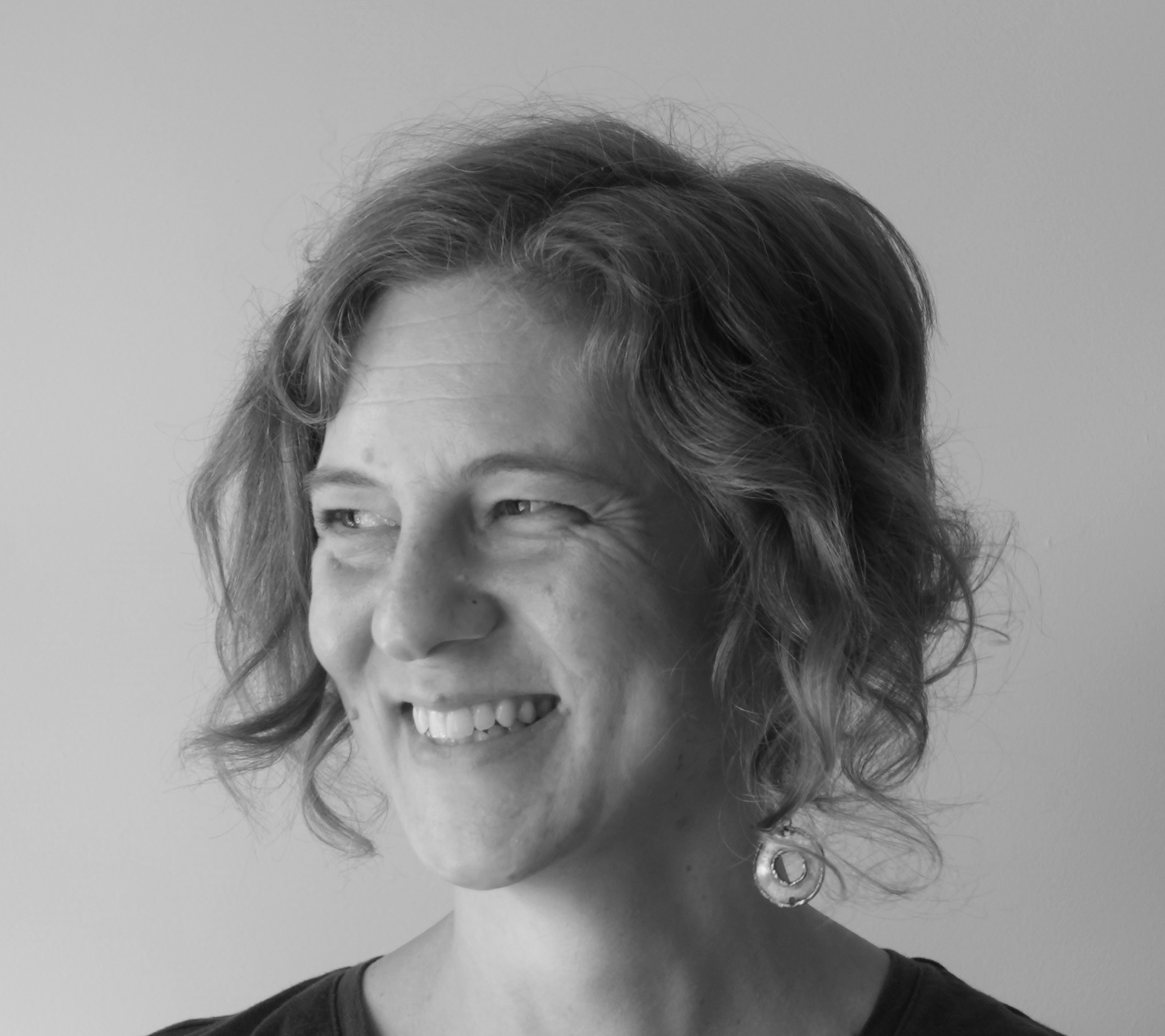
Maia Williams

I am a spatial data specialist based in Perth, Western Australia. This page is a collection of personal and professional projects.
I enjoy the diversity of contexts and multidisciplinary opportunities my spatial data work affords me. I thrive on continual learning and teaching of spatial analysis possibilities and the pleasures of new tricks!
I am excited by open source projects like QGIS, OpenStreetMap, Wikidata and many more from the FOSS4G world.
Dissertations, publications and university projects
Master of Landscape Architecture dissertation by design, University of Western Australia, 2020
My Master of Landscape Architecture dissertation was about the processes of urban landscape perception and place creation, and how purposefully designing for and with these processes might (positively) influence urban design. The dissertation by design comprises a literature review and discussion of supporting theories (Part 1) and a hypothetical suburb design demonstration (Part 2).
- Part 1: Such possibilities in the processes of place.
- Part 2: Living. Beside the ridge, before the sea.
Master of Landscape Architecture design studio, University of Western Australia, 2019
My final year design studio was a combination of data gathering and design using Jan Gehl’s street quality and public life analysis methods (all credit to Pip Munckton and Chantal Caruso for the studio design). Just the right studio for me.
Master of Landscape Architecture unit, University of Western Australia, 2018
As part of a unit on critical theory in landscape architecture I wrote an essay about the processes of place conceptualisation and how successfully landscape architects are using digital approaches to engage with these processes.
Master of Science in Geospatial Technologies, Universidade Nova de Lisboa and Westfälische Wilhelms-Universität Münster, 2011
My dissertation research was about the categories of landforms people identify, and if/why the categories vary between different combinations of landscapes and people. I was studying in Portugal and Germany, and did my dissertation research in Portugal. I published my research in the Journal of Spatial Information Science (JOSIS) and presented at the Geomundus conference in 2011.
- Contribution towards understanding the categorisation of landforms dissertation.
- The influence of landscape variation on landform categorization JOSIS paper.
- The influence of landscape variation on landform categorisation Geomundus paper and presentation.
Bachelor of Engineering (Environmental) Honours, University of Western Australia, 2006
For the sake of completeness I include my honours dissertation here. I did this project the year after I first began working with spatial data and I was so pleased to find an honours project that was essentially a remote sensing data analysis.
Open source projects
Wikimedia Australia Wikidata Fellowship project, 2022 -
In 2022 I participated in a mentored fellowship focussed on developing a method for the semi-automated use of Wikidata population values in Australian place Wikipedia article infoboxes. With support I developed a Lua module to aid this workflow.
- August 2023, Wikimania conference presentation
- February 2023, Wikimedia East, Southeast Asia and the Pacific Regional Cooperation (ESEAP) Hub meeting presentation: Populating Wikipedia: Keeping population figures up-to-date in place articles
- July 2022, Wikimedia Australia blog post: Populating Wikipedia: New tool integrating Australian Census data, 21 July 2022
- July 2022, Lua module for Wikipedia: PopulationFromWikidata
Geogeeks and FOSS4G, 2021 -
I help organise Geogeeks events. Geogeeks is a community group for people interested in open source tools and data for geospatial. We run regular hack nights, speaker events and OpenStreetMap mapping days. There are drinks, pizza, like minded people, urban exploring, nerdy spatial speak - the best!
In 2021 I helped organised the FOSS4G SotM Oceania Perth Hub conference. This was a local event coniciding with other regional Oceania conference hubs. It was fantastic, we’ll do it again one day.
Spatial data resources for landscape architects
Resources developed for UWA landscape architecture students and practising landspace architects/environmental scientists. These documents are a continual work in progress, not yet polished and in need of collation … but often useful. I use these documents when guest teaching at landscape architecture design studios or helping practices with GIS training.
- Site analysis resources (spatial and non-spatial data sources).
- Preparing and importing base data into AutoCAD.
- QGIS basics.
- More advanced QGIS and data analysis notes.
- Preparing AutoCAD files for printing and export to Illustrator.